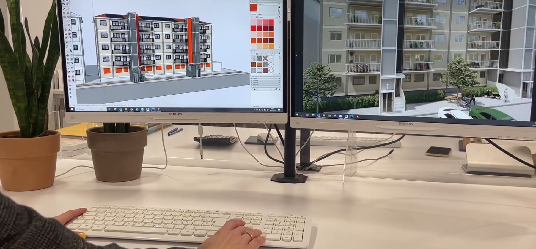
In Zaragoza, activities have commenced to model the building by using a 3D modelling technique with drones.
In Zaragoza, activities have commenced to model the building by using a 3D modelling technique with drones. The solution combines 3d laser scanning technology, UAV-based photogrammetry, and topographical survey, to obtain more accurate and georeferenced geometric information of the building. The use of a high-resolution UAV survey allows to collect information from high risk or difficult access locations, such us, roofs, and higher parts of the building. Therefore, combining the resulting point clouds of both technologies powers their assets and allows a deeper examination of current state of the building, pathologies, and geometry.
The process is as follows: on the one hand, the building is scanned indoors and outdoors (more than 100 scans): point clouds have been obtained that have been joined in parts/areas. The scans have been done with a 3D laser scanner Leica BLK. In parallel a topographical survey was done to georeferenced point clouds. On the other hand, the flight of a drone (UAV) was used to also obtain point clouds but through photogrammetry. These georeferenced point clouds were merged and then modelled with BIM methodology to obtain the digital twin of the building.
Stay informed! keep up with
the latest news and events

HORIZON-CL5-2021-D4-01
EUROPEAN COMMISSION
European Climate, Infrastructure and Environment Executive Agency
Grant agreement no. 101069610
This project is funded by the European Union under grant agreement no. 101069610. Views and opinions expressed are however those of the author(s) only and do not necessarily reflect those of the European Union or European Climate, Infrastructure and Environment Executive Agency (CINEA). Neither the European Union nor the granting authority can be held responsible for them.